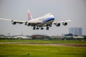
Rising temperatures and more frequent extreme weather are putting pressure on a wide variety of spheres. The aviation industry is not an exception. Airports are dealing with everything from flooded runways after heavy rain to planes struggling to perform in intense heat. These concerns are already an issue and are subject to solution in the near future. Airports are redesigning their drainage systems, reinforcing runways, and adjusting building codes to withstand floods, heatwaves, and storms.
Satellite monitoring plays a crucial role in mitigating climate risks in aviation. Sentinel data, received from the satellite, provides a clear and consistent view of how landscapes and weather patterns change. Thus, airport managers and flight operation officers with better foresight can plan flights more precisely and make smarter decisions about air traffic.
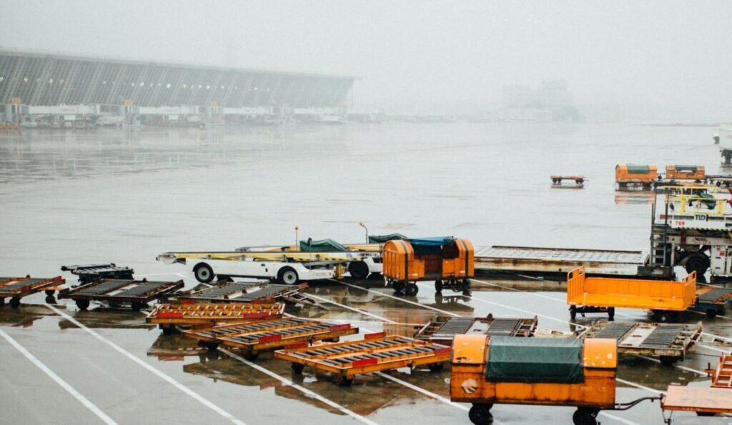
Grounded by the Climate: Key Environmental Threats to Aviation
Bad runway drainage and hailstorms are not the only challenges in aviation. Generally, extreme climate conditions impact aviation both on the ground and in the air. Here are the most topical climate issues in aviation today:
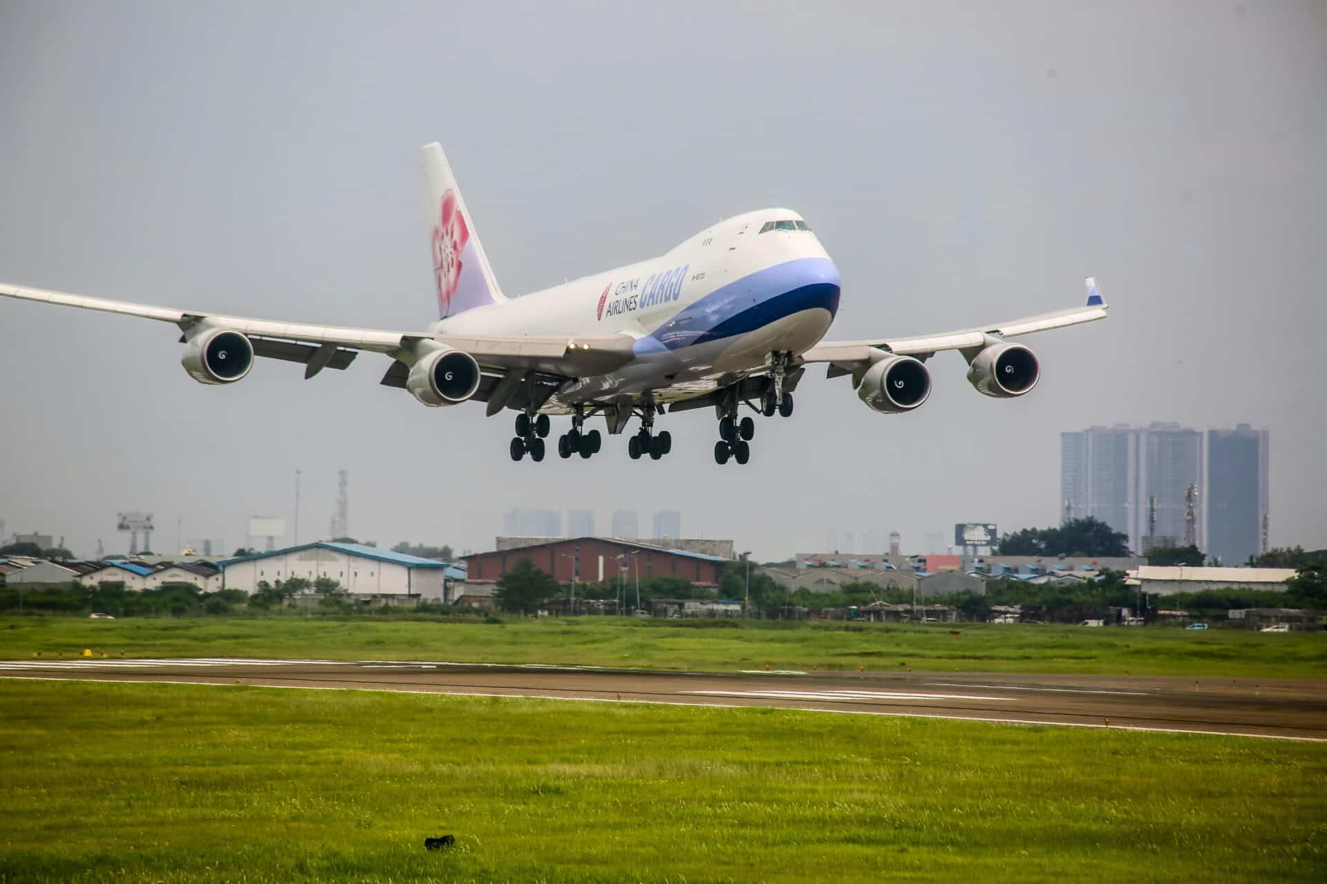
- Runway flooding: Heavier rains are overwhelming airport drainage systems, leading to flooded runways that delay or cancel flights and compromise takeoff safety. According to the Climate Central report, over 80 airports worldwide could be underwater with a one-meter sea level rise.
- Tarmac and taxiway damage: High temperatures can soften or crack asphalt surfaces, making taxiways and runways unstable and requiring costly repairs or operational shutdowns.
- Poor visibility and air quality: Smoke from nearby wildfires lowers visibility for pilots and poses health risks to airport staff and passengers, often grounding flights or rerouting traffic.
- Increased storm activity: Stronger and more frequent storms lead to delays, diversions, and turbulence, increasing safety risks and operational unpredictability.
- Accelerated infrastructure wear: Constant exposure to heat, moisture, and strong winds wears down airport structures faster, shortening their lifespan and raising maintenance costs.
Unfortunately, these impacts are already happening in real life. For example, in 2023, heavy rains forced LaGuardia Airport to shut down part of its operations after flooding a runway. In hotter places like Phoenix, planes sometimes struggle to take off because the air gets thinner during extreme heat. At the same time, wildfires across North America have frequently disrupted flights and caused rerouting. Generally, in the United States, weather causes around 25% of all flight delays, according to the United States Department of Transportation.
Aircraft operators and airport authorities on the ground can not influence the weather. However, satellite Earth monitoring enables them to identify flooded zones, thermal anomalies, and tracking environmental change in aviation around critical infrastructure. This data supports quicker, smarter responses and helps the aviation industry build long-term resilience in the face of a rapidly shifting climate.
Eyes in the Sky: How Satellites Safeguard Aviation
The value of modern satellite monitoring in aviation is hard to overstate. It’s become an essential tool for helping the industry keep up with both long-term climate changes and everyday weather shifts. With fresh data arriving daily, satellites give everyone in aviation, from flight planners to ground crews, the information they need to stay ahead. Here’s how this technology is making a real difference:
- Tracking changes in land, water, and vegetation near airports to identify potential risks such as erosion, flooding, or the spread of wildfires
- Providing early warnings for wildfires, flash floods, and heatwaves, allowing airport authorities to prepare and respond promptly
- Improving flight safety by detecting storm systems, smoke plumes, and temperature anomalies that could impact aircraft performance and flight routes
One of the best tools for this is Sentinel 2 satellite imagery, which delivers detailed, multi-spectral data that can track shifts in surface temperature, water buildup, and plant health. This information is crucial for creating predictive models and planning upgrades to airport infrastructure.
Key Environmental Indicators for Monitoring Aviation Risk
Satellites provide tons of data to the Earth in the form of environmental indicators. By analyzing these specific spectral indices, aviation planners can evaluate how natural conditions around airports and flight corridors are changing, and how those changes may pose risks. Commonly used satellite-based indicators include:
- NDMI (Normalized Difference Moisture Index): Measures vegetation moisture to assess wildfire risks near airport perimeters and along flight paths.
- NBR (Normalized Burn Ratio): Detects recently burned areas, which helps determine the safety of air operations following wildfires.
- NDWI (Normalized Difference Water Index): Monitors surface water changes, allowing airports to prepare for flooding in vulnerable zones.
- NDVI (Normalized Difference Vegetation Index): Tracks vegetation health and land degradation, helpful in managing airport expansion or protecting critical buffer zones.
These indicators are especially effective when analyzed with high-resolution data, such as that provided by a Sentinel 2 image, which captures details at a 10-meter spatial resolution. Planners can use this data to refine seasonal flight schedules, relocate critical infrastructure, and develop climate-resilient designs.
Future-Proofing Aviation with Satellite Intelligence
Maintaining the safety and reliability of infrastructure is essential in such a high-risk sphere as aviation. Using satellite imagery in order to adapt to frequent climate disruption is an integral part of it. Whether it’s the construction of runways or planning flight routes, this sphere must keep pace with developing technologies and implement all the high-tech solutions.
Environmental threats can become more dangerous, and using platforms like EOSDA LandViewer to monitor and access Sentinel data analytics in a user-friendly form. It offers near-real-time satellite imagery, historical comparison, and a set of other tools useful to track changes in land, air, water, or vegetation. From dealing with wildfire smoke or flood risks, airport officers and authorities can prepare for seasonal challenges or quickly address natural force majeures, keeping operations running smoothly. It’s how the industry can ensure air travel stays efficient, responsible, and ready for the climate challenges ahead.