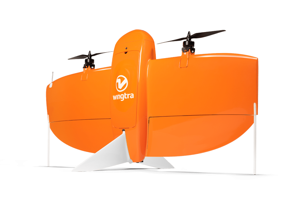
Wingtra – World’s No. 1 VTOL Drone Producer, 100+ Distributors Worldwide
Core Services & Expertise
Wingtra operates as world’s leading fixed-wing VTOL drone producer for mapping, survey, construction and mining industry professionals headquartered in Switzerland.
Since market entry in early 2017, partnered with more than 100 distributors worldwide (70+ biggest equipment dealers) selling mapping drones globally.
7+ years of scientific research with 100+ employees including more than 30 focusing on R&D.
Mission to have large-scale positive impact on human condition through technology and robots enabling industry professionals to make better decisions through safer, faster and better quality aerial data collection.
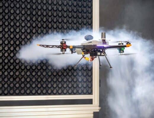
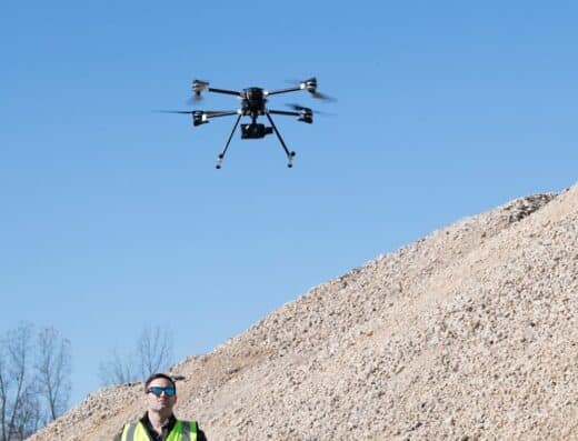
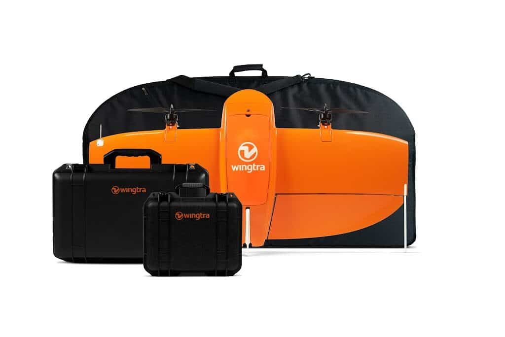
WingtraRAY Professional Survey Drone:
Professional survey drone delivering CAD/GIS-ready data with centimeter accuracy within hours.
Built for high-efficiency data capture with survey-grade accuracy helping cover more ground faster without compromising quality.
Cover up to 100 ha in 10 minutes with absolute accuracy 3 cm (RMS x, y, z) with PPK. LIDAR density 270 pts/m² (30% side overlap, triple returns). Flight time up to 59 min.
EASA C3 & C6 certified enabling compliant reliable and safe drone operations.
Survey Capabilities:
Survey up to 550 ha (1360 ac) in one flight with repeatable and verifiable 3 cm (0.1 ft) accuracy every time.
Get CAD/GIS-ready outputs in one seamless flow-plan, capture, process and export all in one connected app.
Capture precise survey data ready for CAD/GIS with tightly integrated LIDAR, RGB, and multispectral sensors switching between them as needed generating accurate CAD/GIS-ready outputs.
Outputs: Orthomosaics (high-resolution georeferenced 2D maps enabling accurate measurements), LIDAR point clouds (dense classified point clouds even under vegetation and bare-earth terrain models), Point clouds with photogrammetry (millions of measured 3D points for stockpiles, topographic surveys).
Complete End-to-End Workflow:
From flight planning to CAD and GIS-ready outputs-drone, GNSS ground receiver and software built to work together providing fast accurate results with minimal learning curve.
Plan, collect ground data, fly, process, visualize, share and export in one streamlined system with no juggling between vendors, no format conversions, one support team for everything.
Export in standard formats (.tiff, .las) bringing final outputs into ArcGIS, QGIS, AutoCAD, Civil 3D, Trimble Business Center.
Compliance & Certification:
NDAA, Blue and Green UAS cleared in US meeting highest cybersecurity standards and pre-approved for civil government and sensitive projects.
FAA Category 3 OOP certification: Parachute add-on automatically deploys in emergencies protecting people on ground enabling legal surveys over roads and populated areas-no waivers, no delays.
Built for US regulations and pre-approved for civil government work with NDAA compliant, Blue UAS certified (only VTOL mapping solution on Blue UAS Cleared List), FAA compliant, Swiss engineering.
WingtraCLOUD Software:
ESSENTIAL: Plan and monitor flights in 2D map view, use offline maps for flight planning, sync across devices, automated flights with terrain following/pause/resume/return to home, geotag in global coordinate systems. One-time purchase, no subscription.
PRO & UNLIMITED: Full end-to-end workflow from planning to CAD/GIS-ready outputs with guided GNSS data logging, automated processing, visualization and sharing.
Geographic Reach & Capabilities
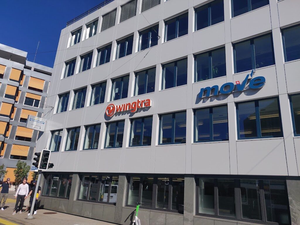
Headquartered in Zurich, Switzerland with 100+ distributors worldwide and US Sales Office in Fort Lauderdale, FL.
1,000 m² (10,800 ft²) office housing 100+ employees with drones assembled in-house in Zurich by production team.
Technical specialists support customers globally with 300,000+ flights completed by 1,500+ organizations globally.
Industry Credentials & Partnerships
Wingtra maintains world’s No. 1 VTOL drone producer status with 7+ years of scientific research and 100+ employees.
Rooted in years of robotics research at Autonomous Systems Lab-one of world’s best drone laboratories at ETH Zurich (world’s 3rd best university for engineering and technology).
Engineers are graduates from ETH Zurich among leading research engineers in VTOL technology.
Switzerland – The drone hub: Switzerland often referred to as “The Hub of Drones” or “The Silicon Valley of Robotics” ranking first in Global Innovation Index.
Ranked second in overall ranking of Swiss start-ups and first in drone category (2020).
Service differentiators: World’s No. 1 VTOL drone producer, 7+ years scientific research, 100+ employees (30+ R&D focused), 100+ distributors worldwide, 300,000+ flights completed, 1,500+ organizations globally, ETH Zurich engineering graduates, assembled in-house in Switzerland, NDAA/Blue/Green UAS cleared, FAA Cat 3 OOP certified, EASA C3 & C6 certified, only VTOL mapping solution on Blue UAS Cleared List, 3 cm accuracy with PPK, cover 550 ha in one flight, flight time up to 59 min, complete end-to-end workflow, export to standard formats.
Featured in Forbes 30 under 30 and IEEE Spectrum covering pitch to German chancellor Angela Merkel.
Trusted by industry leaders worldwide including construction/infrastructure, aggregates/earthworks, environmental monitoring, mining/metals, urban planning/land management, energy/utilities.
Client Benefits & Advantages
Wingtra’s comprehensive drone surveying solutions address diverse industry needs with exceptional accuracy and efficiency:
- World’s No. 1 VTOL drone producer validates market leadership and proven technology
- 550 ha (1360 ac) in one flight maximizes coverage reducing field time significantly
- 3 cm (0.1 ft) accuracy with PPK provides survey-grade precision for professional deliverables
- NDAA/Blue/Green UAS cleared enables US government and sensitive project access
- FAA Cat 3 OOP certification allows legal flights over roads and populated areas without waivers
- Complete end-to-end workflow eliminates vendor juggling and format conversions
- 300,000+ flights completed demonstrates operational reliability and field-proven performance
- 100+ distributors worldwide provides local support and training access
- ETH Zurich engineering ensures cutting-edge VTOL technology and innovation
- Swiss engineering quality delivers reliable assembled-in-house production standards
- Export to standard CAD/GIS formats integrates seamlessly with existing workflows
These capabilities combine to create professional drone surveying solution focusing on accuracy, efficiency, and regulatory compliance.
Quick Facts:
- Status: World’s No. 1 VTOL drone producer
- Founded: 2017 (7+ years)
- Research: 7+ years scientific research
- Team: 100+ employees (30+ R&D)
- Distributors: 100+ worldwide
- Flights: 300,000+ completed
- Organizations: 1,500+ globally
- Coverage: Up to 550 ha (1360 ac) in one flight
- Accuracy: 3 cm (0.1 ft) with PPK
- Flight Time: Up to 59 min
- Certification: NDAA/Blue/Green UAS cleared, FAA Cat 3 OOP, EASA C3 & C6
- Headquarters: Zurich, Switzerland (assembled in-house)
- US Office: Fort Lauderdale, FL
Contact Details:
Headquarters: Wingtra AG, Giesshübelstrasse 40, 8045 Zurich, Switzerland
US Sales Office: Wingtra Corporation, 100 SE 3rd Avenue, 10th Floor, Fort Lauderdale, FL 33394, USA
Website: www.wingtra.com
Email ID:- hello@wingtra.com
Phone: +41 44 586 20 20
Please sign in to see contact details.
Location
Similar Listings


Add Review
Claim listing

Please sign in to see contact details.
Leave a Reply